Sunday, June 30, 2024

Coryell County has experienced significant flooding over the years, including recent damage in the spring that caused people to lose homes, livestock, and more. As a result, the county will receive a nearly $2.5 million drainage study to help prevent and plan for future flood events.
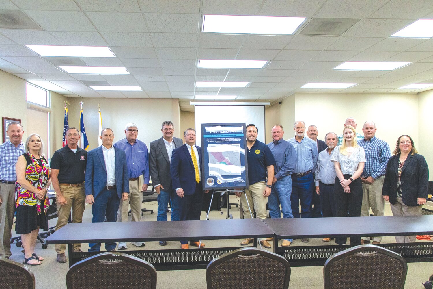
The Texas General Land Office (GLO) awarded the funds to Texas A&M AgriLife Blackland Research & Extension Center in Temple who will lead the study alongside the American Conservation Foundation (ACF). The project will focus on the Leon River and Cowhouse Creek Watersheds – areas prone to flash flooding that impacts the county and its surrounding communities.
The GLO announced the grant money at a Coryell County Commissioners Court meeting on Tuesday.
“The whole intent from our viewpoint is to model the two rivers – the Cowhouse Creek and the Leon – and then suggest ways to build structures that might help with flood mitigation. Not just flood control, but also water storage and water management,” said Jet Hayes, the Deputy Director of Integration at the Texas General Land Office.
The study is the beginning of several projects that will focus on developing solutions to flood problems within the county.
“Coryell County is uniquely situated near the center to the lower end of the Cowhouse Creek and Leon River Watersheds, but just above Lake Belton Dam, creating a situation that is prone to flooding,” said David Jones with Natural Resources Solutions (NRS), a consulting firm working with ACF on the project. “During the last 10 years, Coryell County has experienced several flood-related disasters, which has prompted state and local officials to review and address flood problems in Coryell County.”
The study will help the research groups plan an automatic flood warning system that will alert local officials and citizens of roadway flooding in real-time. Jones said Coryell County will monitor and receive notifications from the flood alert system once it is implemented.
“This will alert roadway users in real-time of life-threatening flood hazards, and it will alert officials of incoming flood events, including the locations, extent, and duration of each event,” Jones said. “Additionally, this data will be used by state agencies as part of a state-wide monitoring and information system.”
The study will also help develop surface and groundwater models that will use local data on lakes, creeks, and underground water sources like aquifers to help predict current and future flood events. The models will also be used to build the flood warning system.
“Texas A&M and our group will work together over the next two years to build a flood model, and then we are going to build a flood warning system over that model – so that people don’t get stuck like they did a few weeks ago, and school buses aren’t driving through the water and that kind of thing,” NRS President Steve Manning said.
Last week, NRS distributed a survey on behalf of Coryell County that asked residents about how flooding has affected their home and community. Jones said the data from the survey is an integral part of the information they are collecting for the overall flood project.
“We felt it was important to capture the public’s flood event concerns as close as possible to an actual flood event, so we rolled the public survey out as soon as we could,” Jones said.
The research groups will eventually use the findings to develop a comprehensive flood mitigation program for the two watersheds, which will allow the county to apply for funds to help protect citizens from future flooding, such as adding bridges to low water crossings.
Following recent population growth and severe drought conditions, shortages from local water sources, such as Belton Lake, are also a concern. June Wolfe, a research scientist with the Texas A&M Blackland Research Center, said the flood models will also help the county plan and search for alternate forms of water supply.
“The models have multiple applications, not just for flood mitigation, but also for planning for future water supply for local citizens,” Wolfe said.
The flood study is a joint effort between several government agencies and regional organizations. The Leon River Watershed covers more than 1,300 miles across Central Texas, and the Cowhouse Creek Watershed mainly affects areas within Fort Cavazos.
“This truly is, and I hope everyone appreciates what a collective and team effort this has been,” County Judge Roger Miller said. “This is not just a Coryell County thing. This is a regional impact. It goes beyond borders.”


